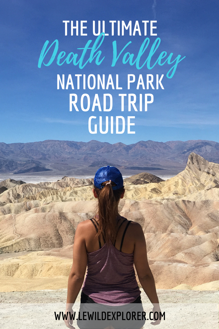
Death Valley National Park is unlike any other California park. It’s very dry and is known for being the hottest and lowest place in the world. Its hottest recorded day was 134 degrees Fahrenheit. Yup, that wasn’t a typo! The lowest part of Death Valley is 282 feet below sea level, making it the lowest elevation in the United States. Each sight is very different from each other. From the sand dunes to the salt flats to the badlands of Zabriskie Point. It’s one of the places I would definitely keep visiting.
I went to Death Valley for the first time last year. It was during their “super bloom,” a rare bloom of wildflowers that doesn’t happen often in Death Valley, and I visited again recently. There, unfortunately, was not much of any kind of “bloom” this time around but I was able to make some stops I didn’t get to make during my first camping trip the year before which inspired me to put together my ultimate Death Valley road trip guide…
Camp Out
To make the most out of your visit I recommend camping. There are a few campgrounds at Death Valley; the larger ones are Furnace Creek and Stovepipe Wells. I stayed at Stovepipe Wells campground. It’s the third campground you’ll see if you’re coming in from Lone Pine. There are no advance reservations for the campground. You find your campsite, park and pay for your site and buy your pass (if you don’t have a national park pass) at the kiosk. There is a general store in the same lot and across the street is the Badwater Saloon and Toll Road Restaurant if you need somewhere to cool off and grab a bite of non-camping food. You can also utilize the pool and showers for an extra fee. You just pay at the Stovepipe Wells Village Hotel lobby. Oh yes, if you don’t like camping you can stay at the hotel or the Furnace Creek Resort.

Information on all Death Valley campgrounds can be found here.
Because it’s so hot for most the year I recommend rising early. We would get out of our tents around 7am. This may not be super early but you might not want to stay in much longer after sunrise.
Feel Like You’re in the Sahara at the Mesquite Sand Dunes
The Mesquite Sand Dunes are pretty cool and make for awesome photos. Get there early or wait until later in the day. It feels ten degrees hotter once you’re out on the sand.


Hike Through Canyons and to Awesome Viewpoints
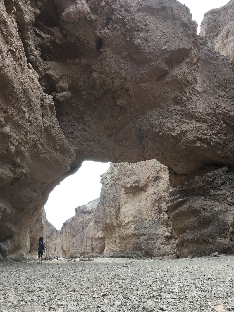
There’s plenty of day hikes to be done in Death Valley. Some of the shorter ones include Mosaic Canyon and Natural Bridge. Mosaic Canyon hike is about four miles round trip. You’re walking through a canyon so you’ll have some shade but most the trail is exposed. It’s neat walking through an area that was shaped by the water that would rush through it. Natural Bridge is a whopping two-mile round trip hike. You can extend it if you walk past the bridge. Some climbing is involved if you do extend the hike.
If you’re new to hiking check out my hiking tips for beginners!


Another hike to do are the trails at Zabriskie Point. I didn’t hike here but the viewpoint (which is just a drive up) is amazing. It looks like you’re on another planet. The trails go right through the badlands. Another viewpoint/hike is Dante’s View. This is a great spot for sunrise from what I hear although I sadly have not made it here. If you’re already at Zabriskie Point it’s only an 11-mile drive from there and a mile and a half hike to the viewpoint. This last trip, we were only there for a day so we decided to skip it. Of all the hikes, I would not miss Zabriskie Point.

Get Low at Badwater Basin
Death Valley is known for being the lowest place in the United States but the exact point is Badwater Basin. Badwater Basin is 282 feet below sea level! This is also where you’ll see the famous Death Valley salt flats. Take a long walk onto the flats and it’ll feel like you can see a white floor for miles and miles.


Take a Scenic Drive
If you’re up for a short but beautiful drive to an incredible destination that will have you thinking you ended up in a place Dr. Suess wrote about, take the Artists Drive and stop at Artists Palette. The hillside looks as if someone splattered pastel paints on them. It’s the minerals that make up the colors of soft pink, lavender, mint green and baby blue. You can also hike in and get up close with the colors. This destination is great in afternoon light.


Get Spooked at the Ghost Towns
There’s no shortage of ghost towns around the park. I stumbled across one on my way driving in. We made a quick stop to check it out but my favorite was Rhyolite Ghost Town. This is just after the Nevada border and is also a museum. There are huge art installations and the ghost town is further in.


Check Out “The City”
If you’re already driving to Rhyolite Ghost Town, keep heading up to Beatty, a small city in Nevada. I stopped here to buy a stamp at the tiny post office, we restocked up on ice and bought some cheese since that’s the only food item we had forgot to bring. We also stopped to eat a meal at a restaurant. There’s food, booze and a casino in Beatty so there are options!

Stargaze Your Heart Out
The stars are absolutely amazing at Death Valley. The moon was bright when I had visited in 2016 but around 4am the moon shifted and it was no longer in sight which was when we saw the most stars. I was blown away. I had never seen a sight like that before. If you have a DSLR camera and a tripod you’re sure to have a good time shooting the night sky.
Bonus Hike…
Just outside the park, you can take a short 2-mile roundtrip hike to Darwin Falls. When you get to the trailhead and start walking in you might forget that you were just in Death Valley. The waterfall isn’t very large at all but feels like such a contrast from the dry desert. The road in is a long gravel road so drive slowly if your car isn’t quite used to the terrain.

Other Tips…
Water
Bring plenty of water with you on the trip and don’t forget to refill your water bottles and/or bladders while you’re out. You can purchase water and other goods at the general stores or in Beatty, Nevada if you run out of anything.

Roads
Some of the roads to trailheads and sights are gravel roads so make sure you’re driving a car that can handle the terrain. I would not take a vehicle that is too low to the ground.
Cellular Service
The park has almost no cell service however around Stovepipe Wells you may be able to pick up service and you can also get service around Furnace Creek. There was WiFi at the Badwater Saloon in Stovepipe Wells Village when I visited in 2016 but this time around I was able to get cell service so I forgot to check if there was WiFi. Yes, you should probably be disconnecting but sometimes we need to make calls, check in with someone or recheck this guide to see what you’re missing!
Maps
Be in the know and don’t get lost while in the park. You can download or print out PDF maps from the National Park Service’s website. Check out alerts before planning your trip, a week before and again before leaving so you’re aware of any closures and road conditions.
If there’s anything I forgot please feel free to leave a message in the comments.
If you like this blog post please pin it!